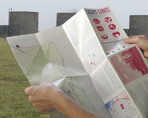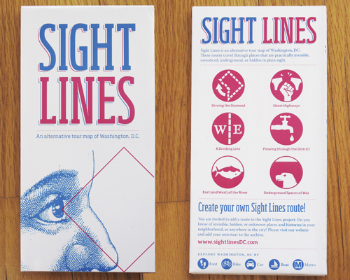


Sight Lines is an alternative tour map of Washington, D.C. These six routes travel through places that are practically invisible, unnoticed, underground, or hidden in plain sight. Some routes visit familiar historic sites or seemingly mundane parts of everyday life, but present them in new contexts. Other routes trace historic lines that had (or would have had) a great effect on residents but that are now obscured by contemporary flows of people, policy, and commerce. These self-guided tours use different modes of transportation through the District. Each is a distinct path, passing through layers of linked histories, lines of sight, ambient sound, and overlapping zones of land use.
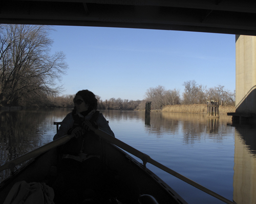
Tours traverse spaces of war, water, invisible highways, boundaries and margins. Routes can be visited by foot, Metro, bicycle, car, or boat.
This project was commissioned by the Washington, DC Commission on the Arts and Humanities for the 5x5 public art exhibition, in which 5 curators each chose 5 artists to create site-specific public art works. Sight Lines was part of Steve Rowell's Suspension of Disbelief. It was distributed for free in all DC public libraries.
Downloads:
>Sight Lines map [or email to purchase one]
Exhibited:
> 5x5 (Artists curated by Steve Rowell) | Spring 2012 | Washington, DC
Links:
>Steve Rowell
>John Emerson
>Mara Cherkasky